The Nerinjipettai Town panchayat is located in Erode District, Which is Urban Local body Coming under the preview of the Directorate of Town Panchayat, Chennai Government of Tamil Nadu. This is Town Panchayat is First Grade local body as per the classification and total population of this Local body is 6884. There are 15 wards and 6 Number of Habitations.
The number is Located in Middle of the Erode - Thoppur National Highway Road 35 KM from Bhavani. The Revenue Village attributed are Nerinjipettai and Ariyagoundanoor . The area Extend of Town 10.47 K.M.
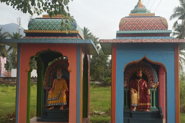
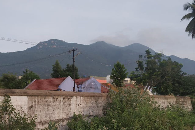
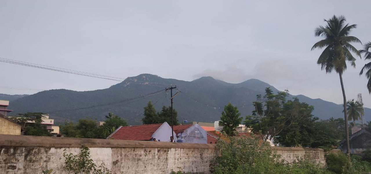
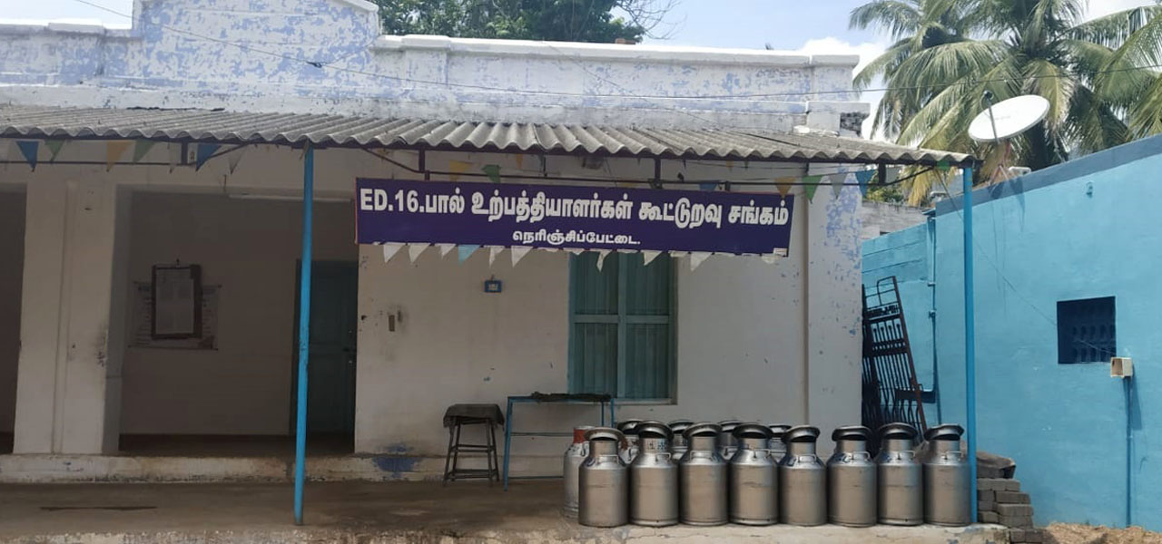
ஈரோடு மாவட்டம் நெரிஞ்சிப்பேட்டை பேரூராட்சி 10.47 ச.கி.மீ. பரப்பளவில் கிழக்கில் காவிரி ஆறு எல்லையாகவும், மேற்கில் பாலமலையும், வடக்கில் சேலம் மாவட்டமும், தெற்கில் அம்மாபேட்டை பேரூராட்சியும் அமையப்பெற்றுள்ளது. விவசாயம் பிரதான தொழிலாக உள்ளது. இப்பகுதியில் காவிரி ஆறு ஓடுவதாலும், மேட்டூர் வலதுகரை வாய்க்கால் பாசனத்தாலும் கரும்பு, நெல் வாழை ஆகிய பணப்பயிர்களும் மேட்டுப்பகுதியில் மானாவாரியாக சோளம், கடலை, ஆமணக்கு, கொள்ளு, துவரை போன்ற பயிர்கள் விளைகின்றன. மீன்பிடி தொழிலும் நடைபெற்று வருகிறது. 15 வார்டுகள் மற்றும் 6791 மக்கள் தொகை உள்ளனர்.
Town Panchayat Located 45.00 K.M distance from Erode District.
Nearest Railway Station Name : Erode , This Railway Station Located 48 km Distance from nerinjipettai
Nearest Airport Located in : Coimbatore 145 km Distance from nerinjipettai
Bhavani, Erode, Avinashi, Coimbatore